“My Maps” - SITE Selector™ adds customizable mapping tools
- 18 Mar 2020
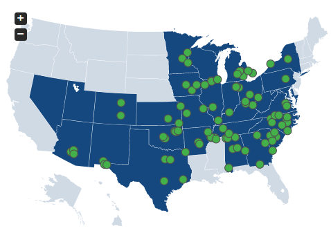
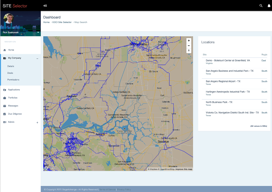
Introducing “My Maps” the latest innovation from SITE Selector™. The process of site selection involves being able to collect, manage, and analyze data efficiently and accurately. This powerful new visualization tool enables teams to save time and improve client satisfaction by quickly highlighting previously hidden challenges and advantages of potential sites graphically.
My Maps was designed to remove the human error caused by toggling between Google maps, spreadsheets, and other data collection apps. Rather than attempt to make sense of information delivered out of context, teams can now view that information in an organized and visually appealing format.
Users are invited to insert relevant data like key suppliers or competitors for each site that can be combined with available public infrastructure data (highways, electric lines, sewer, water etc.) to create a wholistic view of potential site. My Maps allows for multiple sites to combined with custom data points into a single comprehensive map.
The My Maps feature saves times and creates value by bringing into focus the data you care about into a usable visual context. My Maps joins a host of SITE Selector™ data driven features that enable users to manage information efficiently.
About SITE Selector™:
SITE Selector™ is the premier marketplace where Economic Development Offices and growing companies look for mutually beneficial relationships. SITE Selector provides information, tools and a workflow allowing both sides of the market to analyze, refine, select and negotiate for maximum impact and efficiency.
Recent Posts